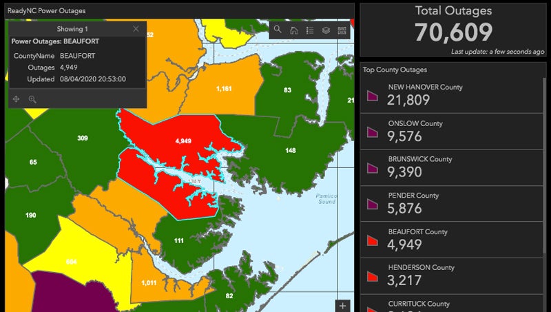
Minimal damage in Beaufort County, Ocracoke victim of historic flooding
Published 7:00 pm Friday, September 6, 2019

- INUNDATION: The Pamlico Sound looked more like an angry ocean during the height of the hurricane. This photo was taken Friday morning from the back porch of the Ocracoke ferry terminal on Silver Lake. The island was inundated with flood waters as Hurricane Dorian’s eye passed and water from the sound, rivers and other waterways surged back out. (Steve Keener)
Hurricane Dorian moved through Beaufort County over Friday night and into Friday morning, but residents were left with minimal damage.
The 4-to-7 foot storm surge forecasted was noticeably absent, which came as a relief to many with properties that flooded during Hurricane Florence almost a year ago.
In Belhaven, water rose to a moderate flood level, according to the National Weather Service’s Advance Hydrologic Prediction Service graph. Major flood stage is 4 feet in the low-lying town on Pantego Creek; the water rose to 3.32 feet during the peak of the storm. In Washington, the river did not raise above 4.17 feet; minor flood stage is at 4.5 feet. In other Beaufort County municipalities, there are no flood gauges.
The National Weather Service stated Friday that some small rivers, creeks and streams would remain elevated through Friday night with improving conditions into Saturday.
At the height of Dorian, sustained winds of 32 mph and gusts as high as 47 mph were recorded at Washington Warren Airfield in Washington, according to Tony Saavedra, the observation program leader for NWS Newport/Morehead City. No other readings were taken in the county, he said.
“For Beaufort County, yeah, it was some wind, some rain, but it moved out pretty quickly, so that’s a good thing,” Saavedra said.
One place that many county residents have ties to did not fare so well.
After the category 1 storm’s eye passed over Ocracoke around 7 a.m. Friday morning, the wind shifted direction and the island was inundated with storm surge draining from the rivers and sound west of the island.
At 8 a.m., the water began rising rapidly, inches within seconds, according to one resident. Water levels quickly surpassed those of 2016’s Hurricane Matthew, the highest flood levels in the island’s recorded history. At 8:45 a.m., Ocracoke postmaster Celeste Brooks sent out a call for help when she was forced to climb into her attic to get away from rising water. Moments later, a boat was seen speeding down an inundated Back Road. At 9 a.m., Back Road had four feet of water in some areas.
“It got a surge on the back side of the hurricane moving out, about 6 feet,” Saavedra said. “I have a contact there, and he said that this is historic, as far as he’s concerned. He said he’s never seen anything like it.”
The NWS Advance Hydrologic Prediction Service graph released Friday shows the Pamlico Sound at Ocracoke rising to major flood level in the space of an hour, from a foot below normal to 6.37 feet. Hatteras experience the same, with water rising quickly to major flood level, at its height, 5.97 feet.
By 5 p.m. Friday, Ocracoke was back to normal levels though some water remained, while Hatteras continued to experience minor flooding at 3 feet.
Many homes and vehicles were flooded on the island that is only accessible by air or water, while every car, RV and truck parked in the National Park Service parking lot near Ocracoke’s Silver Lake ferry terminal flooded, according to residents. A high spot on the island, Ocracoke residents have traditionally used the lot to store vehicles and boats during hurricanes.
Power went off Friday morning around 7 a.m., and water service was terminated on the island because several mains were compromised during flooding.
Hyde County Emergency Services began evacuating Ocracoke residents by air to a Red Cross shelter in Plymouth on Friday afternoon, according to the county Facebook page.
More Hurricane Stories


SportsPlus
How to Watch MLB Baseball on Saturday, July 27: TV Channel, Live Streaming, Start Times
The MLB slate today, which includes the Cleveland Guardians versus the Philadelphia Phillies, should provide some fireworks. Wager…
How to Watch MLB Baseball on Friday, July 26: TV Channel, Live Streaming, Start Times
The Cleveland Guardians versus the Philadelphia Phillies is a game to watch on a Friday MLB schedule that…
Carolina Panthers vs. Arizona Cardinals Week 16 Tickets Available – Sunday, December 22 at Bank of America Stadium
On Sunday, December 22, 2024, the Arizona Cardinals (0-0) meet the Carolina Panthers (0-0) at Bank of America…
Carolina Panthers vs. Dallas Cowboys Week 15 Tickets Available – Sunday, December 15 at Bank of America Stadium
The Dallas Cowboys (0-0) travel to Bank of America Stadium on Sunday, December 15, 2024 to take on…
Carolina Panthers vs. Philadelphia Eagles Week 14 Tickets Available – Sunday, December 8 at Lincoln Financial Field
On Sunday, December 8, 2024, the Philadelphia Eagles (0-0) and the Carolina Panthers (0-0) clash at Lincoln Financial…
-
Polls
 Loading ...
-
-